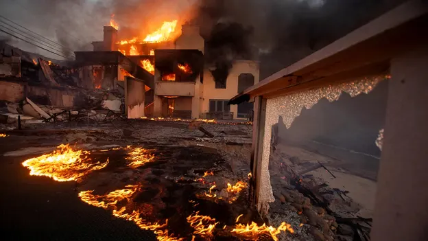
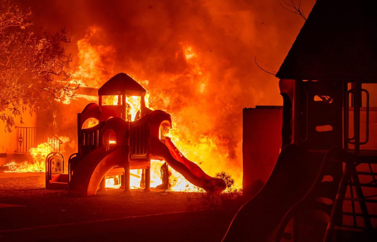
Firefighters are working tirelessly to gain control over blazes raging through Los Angeles, as anticipated high wind gusts threaten to hinder their progress.
These fires, which could potentially become the most expensive in US history, have already claimed at least 24 lives, forced thousands of people from their homes, destroyed more than 12,000 structures, and left 100,000 people under evacuation orders.
Forecasts predict sustained winds of up to 40 mph (64 km/h), with gusts in the mountains reaching 65 mph (105 km/h) through Wednesday. Winds began picking up on Monday and were expected to intensify on Tuesday, according to fire behavior analyst Dennis Burns.
As Los Angeles braces for more strong winds, more tragic stories are emerging, including the deaths of victims, the destruction of homes, and the loss of historic buildings and businesses to the fires.
The fires began last Tuesday, fueled by the fierce Santa Ana winds, which forecasters expect to persist at least until midweek. According to Cal Fire, the Palisades, Eaton, Kenneth, and Hurst fires have consumed roughly 62 square miles (160 square kilometers).
The Palisades fire, located along the coast, is responsible for eight deaths, while the Eaton fire, further inland, has claimed the lives of 16 others, according to the LA County medical examiner’s office. At least 23 people are still missing, and officials anticipate that this number will continue to rise.
Investigators are still working to determine the exact cause of the fires. These fires could potentially become the most costly in US history.
While government agencies have yet to release initial damage estimates, AccuWeather, a company that tracks weather-related impacts, estimates the damage and economic losses could range between $250 billion to $275 billion.
In response to the fires, the National Weather Service issued a rare warning about a “particularly dangerous situation” regarding severe fire conditions that began Monday night and extended into Tuesday.
The strong Santa Ana winds have been largely blamed for transforming the wildfires into massive infernos, destroying entire neighborhoods in and around Los Angeles. The region has seen no significant rainfall for more than eight months.

In the aftermath, LA County Recovers, a government-run program, has posted interactive maps on its website to track damage.
The maps for the Eaton and Palisades fires allow users to click on icons for descriptions of specific structures—such as homes or commercial buildings—and details about the extent of damage, whether “major” or “destroyed.” Addresses can also be entered to locate specific areas, and photos of the damaged structures are available.
Authorities have also reported an increase in price gouging related to hotels, short-term rentals, and medical supplies. Additionally, scammers are reportedly soliciting donations for fake relief efforts.
The fires have threatened and devastated several heavily populated neighborhoods, including Pacific Palisades and Altadena, over the past week.
Real estate data tracker CoreLogic estimates that the reconstruction costs for commercial and residential properties in areas affected by the fires could reach $14.8 billion.
This estimate is based on over 16,500 properties that may have been damaged in the Palisades and Eaton fires near Los Angeles. However, not all properties in the affected areas may have sustained damage equal to their full reconstruction costs.
On Monday, officials reduced the number of people under evacuation orders from approximately 150,000 to under 100,000. However, they warned that more evacuations could be ordered as high winds are expected to return later this week.
As of Monday morning, Cal Fire reported that the Palisades fire was 14% contained, while the Eaton fire was 33% contained. Together, these two fires have burned nearly 38,000 acres since their outbreak last Tuesday. The Kenneth fire near West Hills in the San Fernando Valley has been fully contained, and the Hurst fire is 95% contained.


